"Forests are complex systems"
A walk on late summer’s day. Sitting on a bench at the edge of the forest, enjoying the sunshine and the stillness. The only sound is a tractor rumbling in the distance, with barely a rustle from the undergrowth. Suddenly, a high-pitched buzz – quiet at first, then increasingly loud. Looking up solves the mystery: it's a drone. But what is it doing here? Maybe it is performing scientific research, investigating the forest from above. After all, forest experts have long appreciated just how useful these flying wonders are for their research, helping them get a literal overview of the effects of drought, for example. All you need are the right “eyes”.
Sensors reveal drought stress
Petra D’Odorico’s drones use sensors that cover many wavelengths beyond just visible light. Using an expanded and higher-resolution spectrum can reveal something that a forest ranger would only notice much later: drought stress. After long periods of dryness, leaves activate a special protective mechanism that ensures that the light absorbed is “channelled” differently than via photosynthesis.
Photosynthesis only works if there is enough moisture, as it uses H2O for biochemical processes. The protection mechanism changes the leaves’ pigments. “A bit like what happens in autumn,” explains D’Odorico as the phenomenon appears on the images. Too subtle for the human eye, this change in the composition of leaf pigments and then in the spectrum only becomes clear on the computer screen. It’s a surefire warning signal of stress.
Aerial photography on a flexible schedule
Another major advantage of the airborne images is the ability to simultaneously scan thousands of trees. This would be much harder to do at ground level. D’Odorico explains how she used to work mainly with satellite images, but she wanted to zoom in further. It wasn’t until she started using the drones that she gained the spatial resolution needed to study forest processes in individual trees. This is because not all trees and tree species react to stress in the same way. She can also select the temporal resolution to fit her needs, while satellites can only orbit on a fixed schedule. This lets her zoom in during a heatwave, for example.
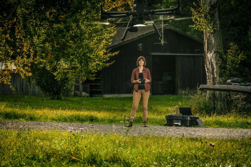
A drone is not a toy
D’Odorico is happy to show us the “tools of the trade” in a basement room of the WSL in Birmensdorf. But these specimens are larger than the drones that we are familiar with in everyday life, as they are expensive versions for professional use.
As a result, handling the drones is more dangerous than one would imagine. “You should never fly one of these drones alone,” says D’Odorico. Special software makes planning flights over a predefined area easier and the scanning manoeuvres are mostly performed automatically, but the drones have to be operated manually during takeoff and landing as well as for special shots. This commands a certain degree of respect: “We are taking pretty expensive sensors around 100 metres up in the air.” The person flying the drone therefore needs to know what they are doing. That is why D’Odorico received flight training from a former US army pilot in Canada.
Human observation remains important
She explains how drone images and digital analysis have long been used in agriculture to assess the yield capacity and stress resistance of crop plants. “Forests are more complex systems, however.” With this in mind, D’Odorico’s work still involves a large amount of basic research. The main aim is to understand everything that can be seen on the images. Spectra contain lots of information that is often difficult to interpret, ranging from biochemical and morphological features to the trees’ behavioural traits.
For this reason, she emphasises the continued need for human observation and knowledge of the forest. “We are not yet at the point where we can do everything with drones.” Forest ecosystems are simply too complex for that. Currently, D’Odorico is focussing on sorting the mass of data and validating it together with the experts on site: “The forest rangers’ knowledge is still essential.
Drone data: a key to climate-resilient forests
The data from the drones provides a much broader picture, however. For example, the images can be used to study which tree species are better equipped to handle warmer, drier climates. The information can allow us to select a portfolio of tree species that will help Swiss forests in the future. The value of this forest knowledge is obvious, particularly given the reality of a changing climate.
